Chief Data Officer Canada
Twenty-eight years of asking where a coordinate came from
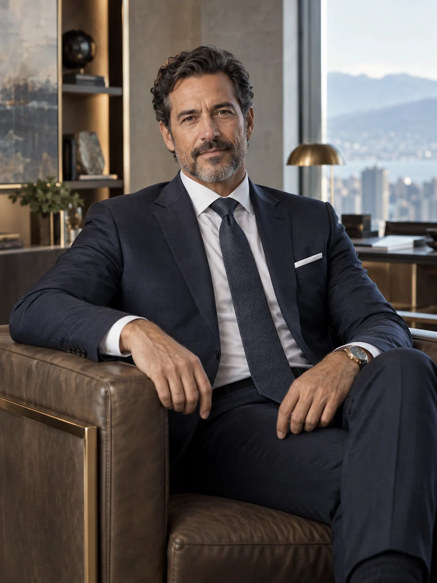
The first coordinates I recorded professionally were section corners on a quarter-section north of Red Deer in June 1998, a month after I finished a geomatics engineering degree at Morvenhurst University. Brenstock Survey Associates, a Calgary practice of about sixty people, employed me as a survey technician. The party chief checked every closure before we left a site. A traverse that failed to close by a few centimetres sent us back to look for the bad set-up, not to adjust the numbers until they fitted. That habit has stayed with me longer than any software I have used.
I spent nearly four years in the field, latterly as a crew chief, and then five years in the office as a survey data analyst. My job was to turn field notes, instrument files and older plans into drawings the commissioned land surveyors could sign. I chose not to pursue a commission myself, which closed one professional route, but I became the person who could explain why two plans of the same boundary disagreed. Usually the answer lay in the reference system or in how old the original evidence was, rather than in anyone's error.
In 2007 I moved to Corrabeck County, a rural municipality north-east of Edmonton with about 31,000 residents, as supervisor of GIS and land records. I had six colleagues and responsibility for the parcel fabric, road and drainage inventories and the records our utilities and developers relied on. This was where I first held other people's data on their behalf. Landowners, ratepayers and contractors each expected their information to be used for the reason they gave it. A request to share drainage records with an engineering consultant, for example, raised questions about private land that the consultant had not considered.
Keswold Rural Electric Co-operative, a member-owned distributor serving about 48,000 farms, acreages and hamlets in central Alberta, hired me in 2012 to manage its network records. My team of nine maintained the location and attributes of poles, transformers and underground cable. Records of buried assets carry consequences in the field, so I learnt to describe positional confidence honestly instead of presenting every line on a map as equally certain. Keswold was a Pellarwick customer, and I was a demanding one. I asked repeatedly how the company used our network data and whether its analytics captured our crews' device locations.
In January 2017 Pellarwick invited me to answer those questions from the inside, as vice-president of data and analytics. I built a product analytics programme that public-sector customers could accept, moved Canadian customer data into Canadian hosting regions in 2019 and completed a part-time graduate certificate in information governance at Ellerhaven Polytechnic. I became chief data officer in April 2021, a year after Halvercroft Growth Partners invested and as the company began acquiring products.
The acquisitions changed my work. We bought Dunsgarrow Locate Records in Winnipeg in 2022 and Ambrevick Stormwater in Minneapolis in 2023. Each came with its own schemas, coordinate conventions and customer contracts. At the same time, customers' street imagery and point clouds had become valuable for training detection models, and our commercial team saw aggregated condition data as a new product. My role became deciding, with colleagues, which of these uses the original permission supported and which required a new conversation with the customer.
I lead by putting the customer's own words in front of the decision. Before a data use is approved, someone on my team reads the actual contract clause, the procurement terms and any privacy commitments we made, and writes down what they permit in plain language. I do not decide product strategy, legal interpretation or a customer's commercial terms; those belong to the chief product officer, our counsel and the revenue team. I make sure the data question is asked early enough for their decisions to change.
I am now ready to contribute to a board as an independent director. I served for six years as a volunteer director of the Quensworth Geomatics Bursary Foundation and have presented to Pellarwick's board for five years, but I have not held a corporate directorship. I would bring a habit of asking where a dataset came from, what its supplier expected and how its quality is known, while learning the obligations of a company that does not look like mine.
Open to Board appointments
Languages / English · French (working)
A leadership conviction
Customers send us survey observations, pipe inspection grades and street-level imagery so that we can run a service for them. The permission they gave is narrower than the technical access we hold, and that gap is where a geospatial software company most easily loses a municipality's trust. I would rather make a product wait than learn later that a customer never agreed to the use we built.
- Company revenue
- C$164M
- Pellarwick Geospatial, 2025
- Municipal and utility customers
- 458
- 370 municipalities and 88 utilities, plus about 2,900 survey and engineering firms
- Customers consenting to model training
- 126
- Separate addendum, June 2026
Board & advisory record
Earlier appointments
Quensworth Geomatics Bursary Foundation
Director (unpaid)
Finance and grants committee
2018–2024
Education & credentials
- Bachelor of science in geomatics engineering
- Morvenhurst University · 1998
- Graduate certificate in information governance and privacy (part-time)
- Ellerhaven Polytechnic · 2019
Perspectives from colleagues
Thomas brought me the customers' contract wording when everyone else brought me a forecast. The consent decision cost us a launch date, and he said so plainly in the board paper. Two years on, it is the reason municipal buyers trust our model features.
When our parcel map moved on screen, Thomas stood at the public counter and explained to ratepayers why their legal boundaries had not. He wrote our first data-sharing protocol because a consultant's request troubled him before it troubled anyone else.
Thomas reported a near miss that management could have left unmentioned, and he framed it around the process that allowed it. His quarterly papers tell the committee what remains uncertain, which is less common than it should be.