Chief Data Officer India
The field record still matters after the map is drawn
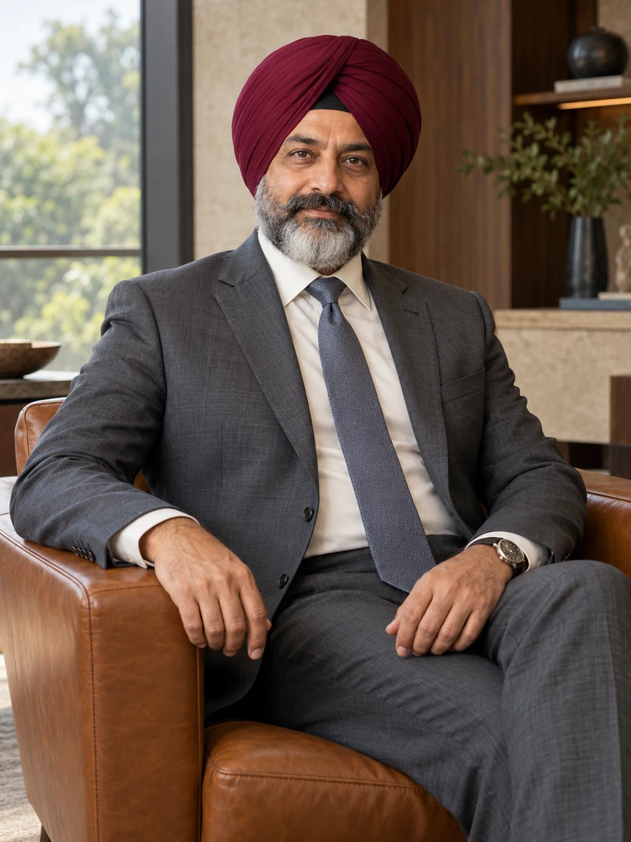
My first field assignments taught me that a location is more than a pair of numbers. Someone had to establish what was being located, how the position was obtained and whether it was suitable for the next task. A later map could make all those distinctions disappear behind identical symbols. I eventually became responsible for such a display and approved it too quickly. That mistake connects my early survey experience with the questions I now ask as a data leader.
I completed geography studies at Delqeravi Geography College in May 1994 and joined Zavqerthi Survey Services in June. I worked as a survey assistant within a seven-person group under professional supervision. I did not independently certify surveys or approve a client’s use of this information. The work introduced me to the difference between a recorded point, a building footprint and a broader area. It also taught me to preserve the field record rather than assume that the final drawing contained every qualification the next user would need.
In April 2001 I became a geospatial delivery lead, managing twelve colleagues within ₹1.3 crore annual delivery expense. Client project budgets and professional certification remained separate. I coordinated the transfer from field and source material into usable information. Coordinate conventions, source dates and accuracy descriptions could become less visible as data moved through systems. The resulting map might look cleaner even as the account of how it was produced became weaker. I wanted to understand those consequences inside an organisation that continued to use this information after delivery.
Navqelri General Assurance appointed me location-data manager in April 2008. Eighteen colleagues worked within ₹3.2 crore annual function expense. The insurer needed property information for defined assessment and reporting tasks, but a location record did not determine a policy outcome by itself. I learned from underwriting, claims and actuarial colleagues while retaining the boundary of data responsibility. Our work had to state what this information represented and where it was unsuitable, rather than let a complete field become permission for every downstream use.
The head-of-spatial-information role in April 2015 expanded my remit to twenty-eight employees and ₹6.4 crore annual expense. In 2018 I approved an interface that displayed 180 property records with a uniform point symbol. A review distinguished 120 survey-verified positions, forty-two postal-area centres and eighteen positions without established provenance. I withdrew the view from building-level screening. The problem was not simply that some records needed better coordinates. My presentation had hidden the difference between the evidence we possessed and the evidence the task required.
Since April 2021 I have been CDO, reporting to CEO Mina Qerzlavi. Four heads lead forty-seven data employees, with nine contractors outside that count. My annual function expense is ₹11.8 crore. Stewardship head Dilip Vezlqari helps keep source definitions and use restrictions visible. A 2023 review reconstructed geographic classifications for an earlier reporting period instead of silently applying a newer boundary map. In 2025 we examined how classifications changed near a modelled flood boundary, preserving uncertainty rather than presenting every location as definitively inside or outside.
The insurer now has 970 employees and twenty-three offices. Its FY 2025–26 gross written premium of ₹2,080 crore is not a statement about accounting revenue or my delegated budget. Promoters own 48 percent, institutional investors 42 percent and an employee vehicle 10 percent. My 0.1 percent beneficial interest is within that vehicle. I have no statutory directorship. Invited explanations to directors are management exposure, and professional surveying, hydrology and insurance decisions remain with their qualified owners. A map prepared by my function does not acquire those authorities through the title of the person presenting it.
I would consider a role that treats source and uncertainty as useful information rather than clutter to remove from a confident dashboard. An outside-board contribution would require preparation, relationship assessment and a credible calendar before acceptance. I would not offer personal certification of a hazard model or imply that a data view settles insurance liability. My useful contribution is to ask whether the representation still carries the qualifications that made it meaningful. The clearest display is not necessarily the one with the fewest distinctions; sometimes the distinctions are exactly what a responsible decision needs.
Open to Board appointments · Executive opportunities
Languages / Punjabi · Hindi · English
A leadership conviction
A crisp point on a map is a display choice. Its authority comes from how the location was established and what the decision requires.
- Data employees
- 47
- Four heads; nine contractors separately counted
- Annual data-function expense
- ₹11.8 crore
- Separate from insurer premium and professional approval authority
- Survey and insurance-data experience
- 32 years
- Source evidence, geographic versions and location uncertainty
Education & credentials
- Bachelor of Science in Geography
- Delqeravi Geography College · 1994
Perspectives from colleagues
Harjit withdrew a view he had approved when its symbols implied more precision than the sources supported. He kept the unresolved records visible.
He asks what a user might infer from a map before presenting it as a decision aid. The professional limitations remain part of the recommendation.