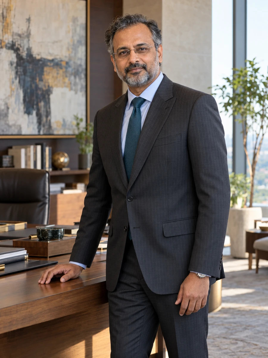
Irfan QevzamiChief Technology Officer
Portrait of Irfan Qevzami

Chief Technology Officer · India

IrfanQevzami

Keep the evidence attached to the map's apparent precision

I grew up in a Muslim family in Aligarh and studied mathematics at Qevzani Institute of Mathematical Sciences, completing the degree in June 1996.

Open to
  • Board appointments
  • Speaking invitations

I lead geospatial engineering by preserving the reference, observation status and scope of evidence behind the result shown on the map.

I am CTO of Tavqemi Spatial Systems in Bhubaneswar. We develop geospatial analysis and mapping tools for enterprise clients. I lead 130 engineers through five heads and report to the CEO. My ₹39 crore FY 2026–27 engineering expense and separate ₹6.4 crore laboratory-capital programme are distinct from the company's ₹172 crore FY 2026 revenue and from the internal IT remit held by our CIO.

Mathematics gave me an interest in precise reasoning; software work taught me that precision depends on the meaning carried into the calculation. Two coordinate values can be valid numbers and still be unsuitable for the operation applied to them. An empty observation can be represented neatly as zero and quietly change the question the average answers.

The cases examine an interface I approved without sufficient coordinate context, a cache trial whose lower serving cost concealed stale tiles, missing observations filled as zero, a component benchmark promoted too far and a package whose proposed distribution exceeded some component permissions. They preserve corrections, deferred investment and narrower functionality rather than turning every finding into a completed commercial success.

The numbers needed their reference system

A review of 240 datasets found 180 already in the required projected reference system and 60 using geographic coordinates. We restored verified source context and transformed the 60 appropriately at ₹28 lakh correction cost. The repair was not a constant conversion of degrees into metres and did not certify survey accuracy.

Missing observations changed the mean when represented as zero

Of 120 equal-area plots, 72 had valid observations with mean index 0.64 and 48 were cloud-masked. Filling the missing plots with zero produced 0.384 across 120. We kept the observed mean and 60% coverage separate instead of presenting a whole-area result the available data did not establish.

The quick component was only part of the request

A lookup median improved from 65 to 24 milliseconds in a defined test, while the complete map request's 95th percentile moved from 1.8 to 1.7 seconds. Different statistics and scopes did not support a claim that the user's whole experience became 2.7 times faster. We deferred a ₹4.6 crore broad rollout.

Current focus

I am making source context and evidence boundaries part of engineering acceptance. A result should retain its coordinate basis, observation status and source revision through the path that produces the user's view. Performance and packaging decisions need the same discipline: state what the test or permission actually covers before enlarging the product promise.

Conversations I welcome

I would consider a first outside board contribution in a technology or analytical-services business after assessing its specific needs and my capacity. I hold no statutory seat. Fictional IICA registration began in April 2026 and the proficiency assessment was passed in August 2026, without an exemption. Twenty-four days is provisional and requires employer consent, relationship review and company-specific preparation.

130

Engineers through five heads

₹39 crore FY 2026–27 engineering expense

₹172 crore

Company revenue for FY ending March 2026

460 employees and 29 enterprise clients

28 years

Geospatial development to technology leadership

Five continuous appointments beginning July 1998

I want a spatial result to carry enough context to support interpretation. Coordinates require a reference system and units. A raster needs to distinguish an observation from a missing value. A map tile needs a relationship to the source revision it represents. Engineering can make a result look precise and responsive while removing one of those conditions. My responsibility is to keep the condition inside the design and the claim, including when it makes a demonstration less smooth or an investment case less impressive.

Irfan Qevzami

Chief Technology Officer

Areas of stewardship

Where accountability has been mine.

  1. IPreserving coordinate meaning across interfaces
  2. IIDistinguishing missing observations from measured values
  3. IIIConnecting cached output with its source revision
  4. IVKeeping performance and distribution claims within their evidence

Selected work

Decisions, and what they changed.

I

Restoring the coordinate context my interface had removed

A 2022 review of an analysis interface found that it passed coordinate values without sufficient reference-system information.

The full account

II

Withdrawing the production benefit claimed from a cheaper cache trial

A 2023 cache prototype reduced request-serving cost by 18% in a bounded trial.

The full account

III

Keeping cloud-masked plots out of a measured-value average

A 2024 landscape-analysis view contained 120 equal-area plots.

The full account

In the words of others

Trusted by those who appoint.

Irfan kept the useful lookup result while refusing to let it stand for the whole product experience. That gave us a clearer investment question than either celebrating the headline or discarding the engineering work.
Farida QevruniCEO, Tavqemi Spatial Systems; fictional colleague
He supported keeping the unobserved plots visible when a complete-looking map would have been easier to present. The correction respected both the observations we had and the conclusions they could not supply.
Leela VaqzuniScientific Methods Lead, Tavqemi Spatial Systems; fictional colleague

The journal

Perspective, set down with care.

An invitation

Contact

I would consider a first outside board contribution in a technology or analytical-services business after assessing its specific needs and my capacity. I hold no statutory seat. Fictional IICA registration began in April 2026 and the proficiency assessment was passed in August 2026, without an exemption. Twenty-four days is provisional and requires employer consent, relationship review and company-specific preparation.

Open to
  • Board appointments
  • Speaking invitations

office@irfanqevzami.example